0.7.1: Editable district names
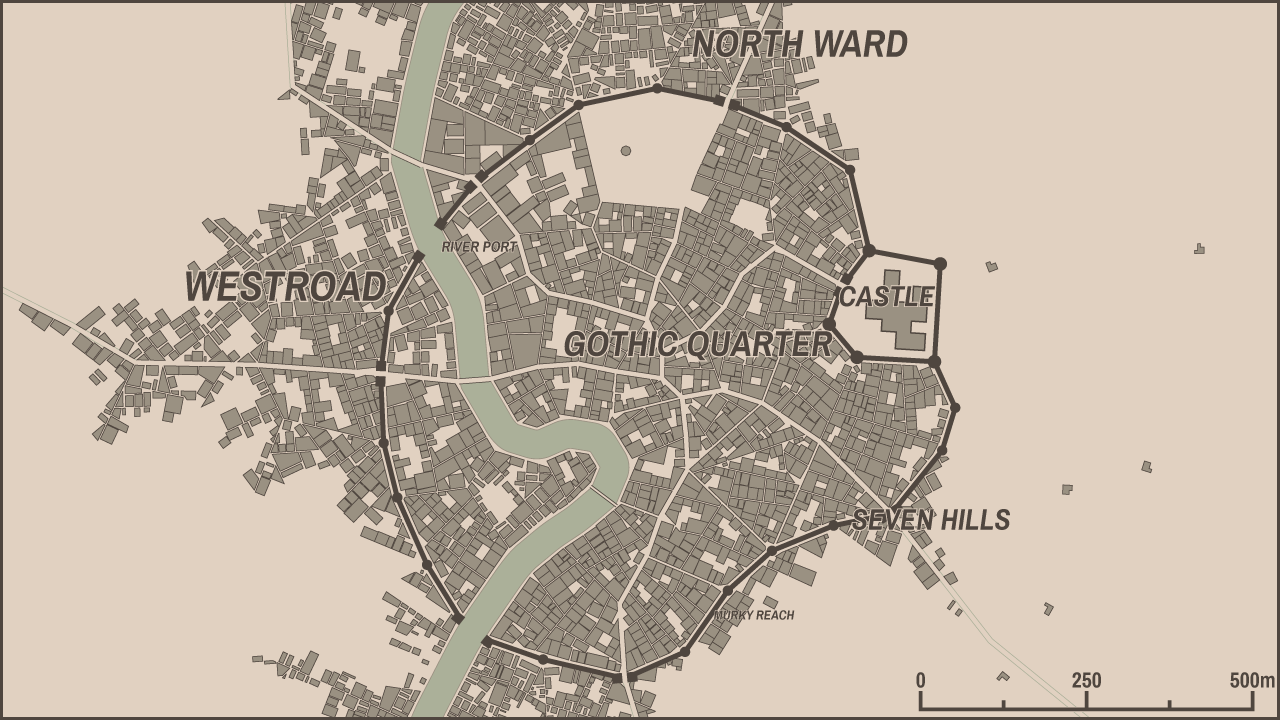
This update is very small. Probably the only noticeable new feature is an ability to edit district names - just click one and enter a new value. It looks a bit odd when curvilinear labels are enabled, but I wanted to keep it consistent with the way how a city name is edited. Please note that in contrast with a city name, district names are not "saved" in the url (in the non-itch version).
It is also possible to "reroll" district names. Shift+click any district name to generate new names for all districts (you can't reroll a single name). It gets harder and harder to invent "windowsless" ways of interaction, so eventually I'll have to implement a proper UI with dialogs, tabs, scrollbars etc.
Other changes
Improved way of road drawing, improved labels placing, new "type" of district - riverbank. The rest of changes are even smaller...
What's next?
In the post on Patreon☕ I mentioned some of development directions/goals I want to pursue. I'll try to implement at least one of those things and I'll keep working on the others. Also I'd like to improve the look of the generator/generated maps somehow, not sure how yet :)
Comments
Log in with itch.io to leave a comment.
Will we be able to add districts ourselves in the future?
Definitely, but I can't say how far this future is :)
The most useful addition for me would be to set the viewport for export. Maybe simply make it the current visible window area, so it can be set by resizing the browser window?
You are talking about PNG export, right? Because with SVG you can just crop any portion of a map without quality loss. The problem is that due to implementation details of OpenFL (which is used as a drawing engine) I can't implement zooming. Eventually it will be fixed this way or another.
No, I'm talking about SVG. Right now the SVG export and the image shown in the browser have little in common. Specifically, the SVG is always portrait and includes a lot of empty space. That means editing every exported file manually.
It would be nice to draw out the placements of farms, bridges, and certain buildings, walls and such.
This is planned as a feature for the desktop version (but not for the web version).